
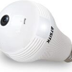


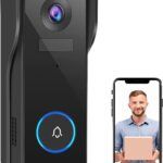


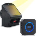
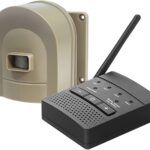


Geofencing is a location-based service that uses global positioning system (GPS), cellular data, and radio-frequency identification (RFID) technology to define a virtual boundary around a specific geographic area. When a mobile device or object equipped with a geofencing system enters or exits the predefined boundary, it triggers a specific action or alert. For instance, when a delivery truck with a geofencing system enters a warehouse, it sends an alert to the dispatcher, indicating that the truck has arrived. Similarly, a geofencing system can trigger an alarm or notification when a person enters or leaves a specific location, such as a home or office.
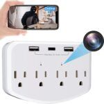
Geofencing technology can also use multiple geofences, allowing for more complex monitoring and triggering of actions. For instance, a geofencing system can be configured to trigger an alert only when an object or person enters a specific area within a larger boundary. Additionally, geofencing systems can be integrated with other technologies, such as surveillance cameras, access control systems, and analytics software, to provide enhanced security and real-time monitoring capabilities.